|
Download Geo Data International Admin - free software download links
|
|
|
|
SEE BELOW THE DOWNLOAD LINKS FOR THE SOFTWARE PROGRAM:
(sometimes we provide two download links because it may happen that the main server / link is overloaded or slow or non responding - the files are identical. Just choose one, save to the Desktop, double click to install)
Disclaimer: to our best knowledge this download comes from a website that is safe (the last time we checked it, it was), but for your peace of mind (and better safe than sorry) we advise you to run an antivirus on the downloaded file. Do not rely on MSWindows, Internet explorer, or on the electronic signature: a unsigned download is usually as safe as a signed one, signed just means the author paid Microsoft or Verisign for a stamp, it does not mean verified. Please kindly report us problems with detail (click here to report), if any. Geo data international world-wide with towns, town quarters and postal codes. Georeferences as UTM- and geographic coordinates (WGS84) and elevations. Suitable for branch searches, periphery searches and distance computations. Australia, Austria, Belgium, Bulgaria, Canada, Denmark, Estonia, Finland, France, Germany, Gibraltar, Greece, Great Britain, Ireland, Italy, Latvia, Poland, Portugal, Spain, Turkey, USA, etc. Formats dBase, CSV, SDF, SQL.( Geo data international world-wide with towns, town quarters and postal codes) 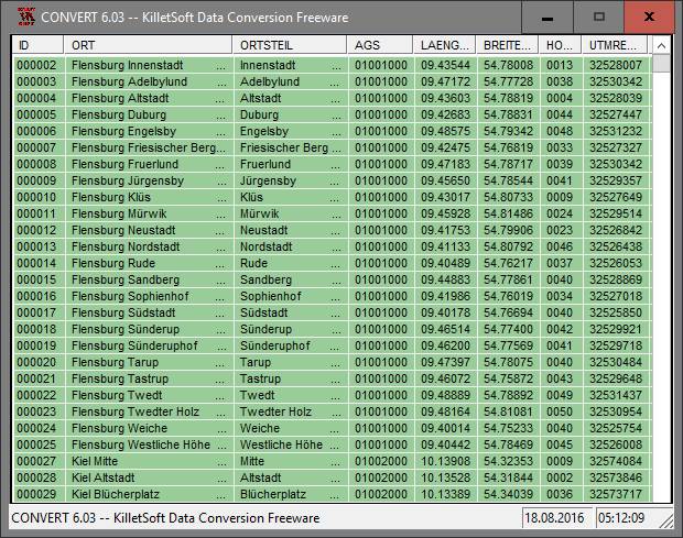
Geo data international world-wide with towns, town quarters and postal codes. Georeferences as UTM- and geographic coordinates (WGS84, ETRS89) and elevations. Suitable for branch searches, periphery searches and distance computations. These countries are available: Albania, Andorra, Belgium, Bosnia, Bulgaria, Denmark, Estonia, Finland, France, Georgia, Gibraltar, Greece, Great Britain, Ireland, Italy, Ex Yugoslavia, Canada, Croatia, Latvia, Liechtenstein, Lithuania, Luxembourg, Malta, Macedonia, Mexico, Moldavia, Monaco, Netherlands, Norway, Austria, Poland, Portugal, Romania, Russia, San Marino, Sweden, Switzerland, Slovakia, Slovenia, Spain, Czech Republic, Turkey, Ukraine, Hungary, Vatican, White Russia, USA, Australia, Cyprus and many more. The download contains a test composition of data cutouts of a lot of countries in different file formates and the exact data description. Here the available data fields of the tables are specified: National identification of the country, postal zip code, town name, town quarter name, local administrative identification (municipality key), geographical longitude and geographical latitude in degree and deg/min/sec notation, UTM easting and UTM northing on the natural and an uniformal meridian strip, Ground elevation over the sea level, up to 3 hierarchical administrative units, which are superordinate the place. First the data base tables are present in a standard file format (CSV, UTF8 character set).This format is used often and in most cases you can import data directly into your own data system. In addition the data base tables can be converted with the downloadable freeware program CONVERT into different data formats with the necessary characteristics, selections and sort sequences. For example you can convert the data into the SDF format (Simple Document Format) or into the dBase format (Borland) using character sets ASCII, ANSI or UTF8 or direct in MySQL.
data program, geodata program, point program, pointdata program, spatial program, reference program
|
|
| |
|

 Click here to start the download